April. The spring sun is shining, summer is at the door, and the last remnants of late winter snow are melting away. It’s time to start contemplating the next hiking adventure.
Last year’s hike in the UKK wilderness in Lapland was a fantastic first encounter with unmarked trails. This year, there’s a chance to continue a similar experience in early June, provided that spring floods subside in time. This time, the hike will be slightly more demanding, stretching from Kiilopää all the way to Paradise Gorge and Devil’s Gate.
Plan
In brief, the plan (at this stage) is as follows:
- Day, 10 km
Drive from Ruka to Kiilopää, and then hike to Rautalampi wilderness hut. An easy, approximately 10 km day walk to a familiar and comfortable overnight spot.
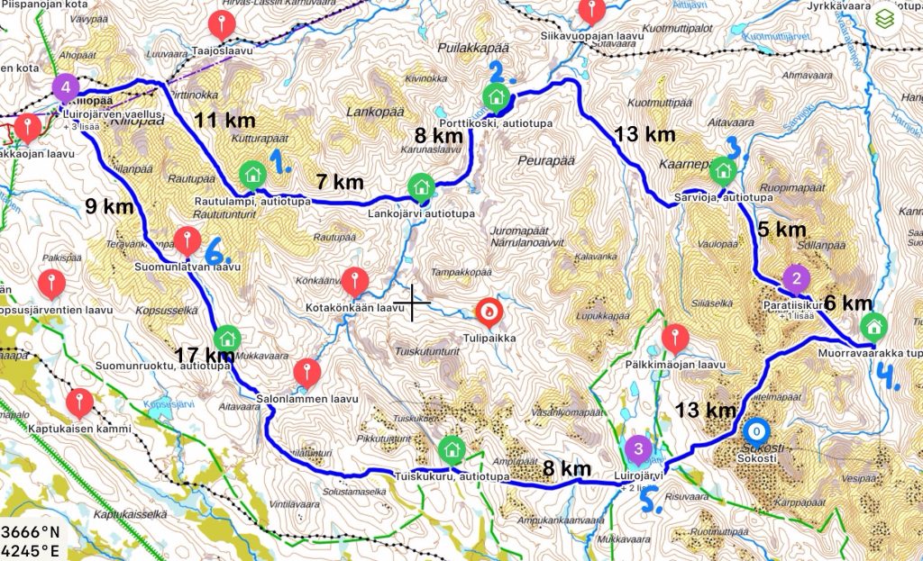
– Ruka-Kiilopää, 351 km
– Kiilopää-Rautulampi, 11 km - Day, 15 km
– Rautulampi-Lankojärvi, 7 km
– Lankojärvi-Porttikoski, 8 km - Day, 13 km
– Porttikoski-Sarvijoki, 13 km - Day, 14 km
– Sarvijoki-Partiisikuru/Pirunportti, 5 km
– Pirunportti-Muorravaarakka, 6 km - Day, 13 km
– Muorravaarakka-Luirojärvi, 13 km - Day, 25 km
– Luirojärvi-Tuiskukuru, 8 km
– Tuiskukuru-Suomunlatva, 17 km - Day, 9 km
– Suomunlatva-Kiilopää, 9 km
– Back to Ruka, 351 km
Food
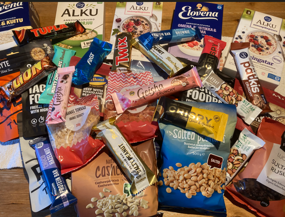
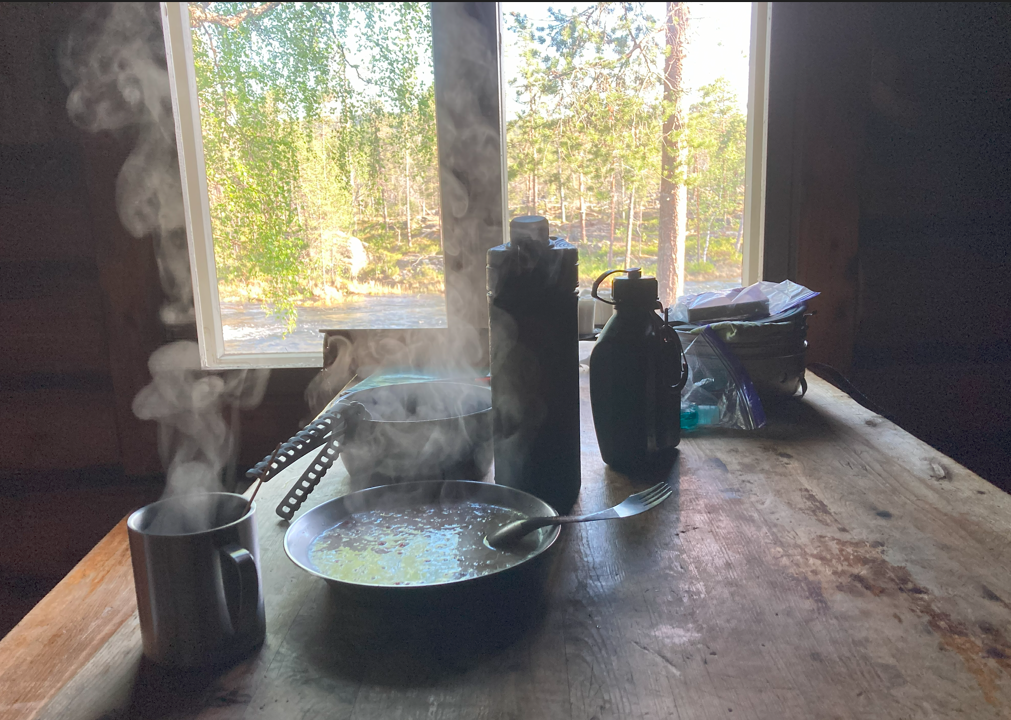
A typical day consists of three meals. For breakfast, a hearty porridge and coffee. For lunch, dry food ration. For supper, a light porridge. Additionally, a self-made nut mix, a protein bar, and a chocolate bar.
Food for 7-8 days
- 18 bags of instant porridge
oat with apple, blueberry, raspberry, seeds - 9 portions of dry food
rice and pork, beef and potato, reindeer stew - 8 protein bars
choco hazelnut, salty peanut, minty chocolate, crispy brownie - 8 chocolate bars
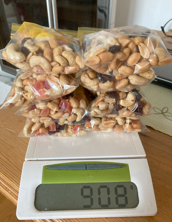
tupla, twix, lion, geisha - 8 pouches of nut mix (á 100g)
salted peanuts, cashews, raisins, papaya, ananas - 16 sachets of instant coffee
Gear checklist
Camping
- ⛺️ tent, 1,8 kg
- Sleeping bag, 1,38 kg comfort -5°C
- sleeping pad, 7 cm
- camping pillow
- tent lantern
- drying towel for tent (Wettex cloth, dries even when wet)
- fire starters (to make life easier)
- sitting pad
- water proof pen and paper for writing up memos and feelings
- towel
- shoe bag
Cooking
- gas stove (Trangia)
- Gas 450 g (weight with bottle 666 g)
- cooking pot (1,5 L), lid and handle
- spork (spoon and fork)
- plate
- matches
Hiking
While hiking, weather can be anything between -5 to +20 C, sunny, cloudy, rainy – even ”small” snowstorm is possible.
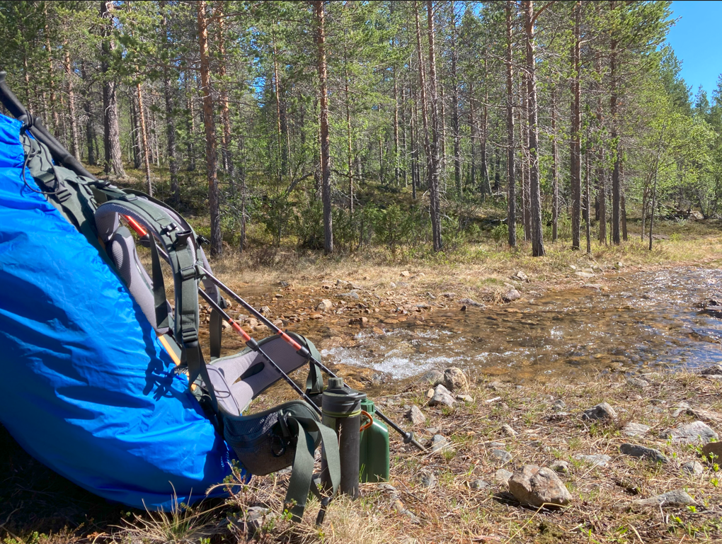
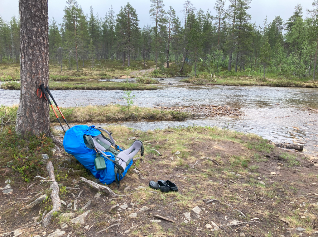
- backpack (Fjällräven Kajka 85L), rain cover
- water bottle 1L, filter bottle 0,75L
- trekking poles
- paper map (1:50000), A3 size maps of daily routes and river crossing locations (1:10000-1:25000)
- compass
- sports watch (GPS map, route plan, steps, distance traveled)
- mobile phone (GPS map, route plan, weather forecasts, messages to home – if there is signal)
- hiking boots (non-membrane)
- rubber sandal (Crocks) for camping and river crossing
- shell jacket: waterproof, three layer coretex
- hiking trousers (breathable)
- waterproof shell trouses for heavy rain days
- cap, beanie (Merino wood beanie for cold days), tube scarf
- gloves (merino wool: it’s warm even when it’s wet)
- mittens (merino wool, for cold days)
Clothing
- base layer (top and bottom): merino wool (one to wear, another for change)
- liner sock (3x), thick socks (3x)
- wool sweater
Hygiene
- toilet paper x 3
- moist wipes
- lip balm, hand/foot cream
- travel towel
- tissues
- liquid soap (dishes, hygiene)
- toothbrush, toothpaste, toothpicks, tooth mug
Other supplies
- bushchaft knife ”Vuolu Tommi”
- first aid kit + extra gauze bandage + tens of blister plasters
- pain/fever medicine
- nail scissors
- liquid soap (dishes, hygiene)
- dish brush
- microfiber cloth (for cleaning glasses)
- robe (10 m)
- duct tape
- zipp bags for trashes
- power banks: 10000mAh & 20000mAh, phone charging cable and watch charger
- microfiber cloth
- rubber bands
Packing
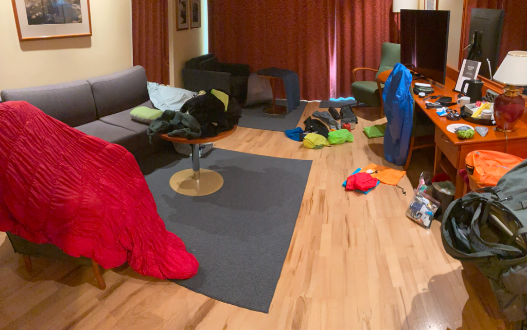
Packing a backpack is one hell of a job. First, you search for the items stored here and there, make a big pile of them which is sorted into gear bags. At the same time, you tick what has been taken off the list. Finally, everything is crammed into the backpack and you ponder what was still missing and especially, what you could possibly do without.
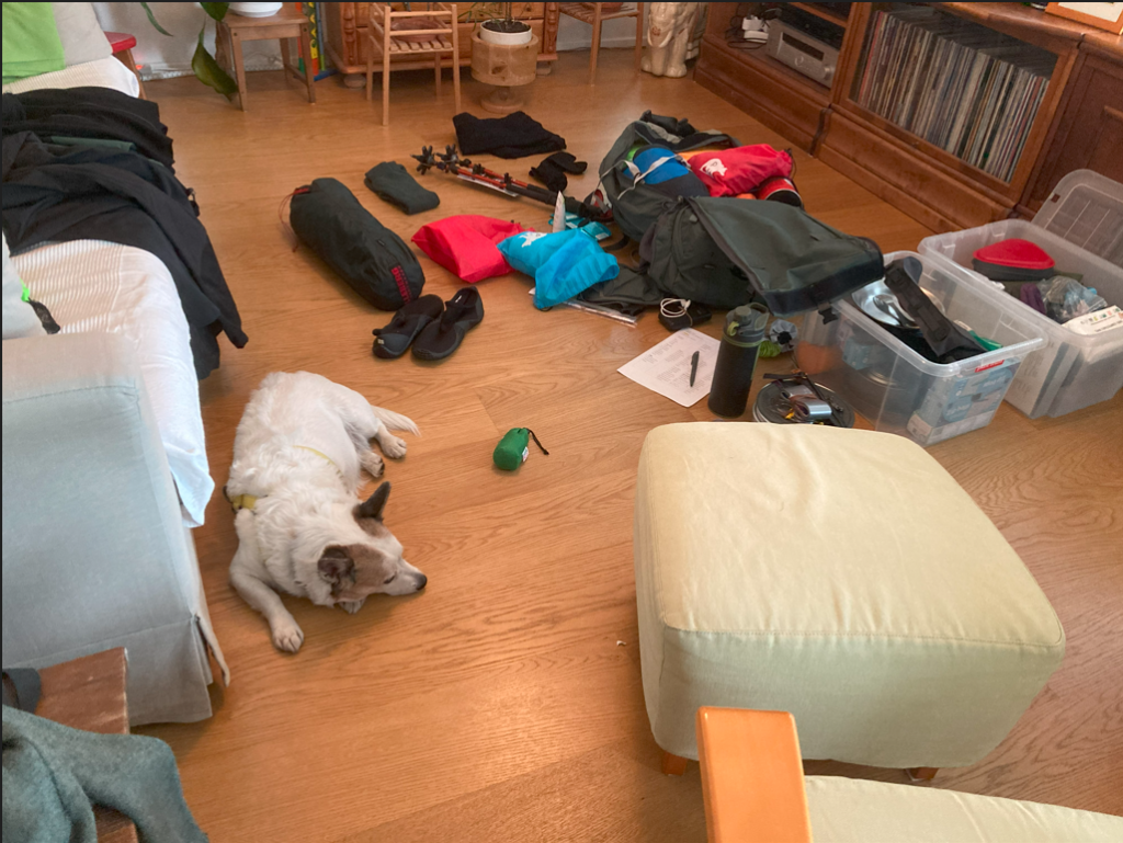
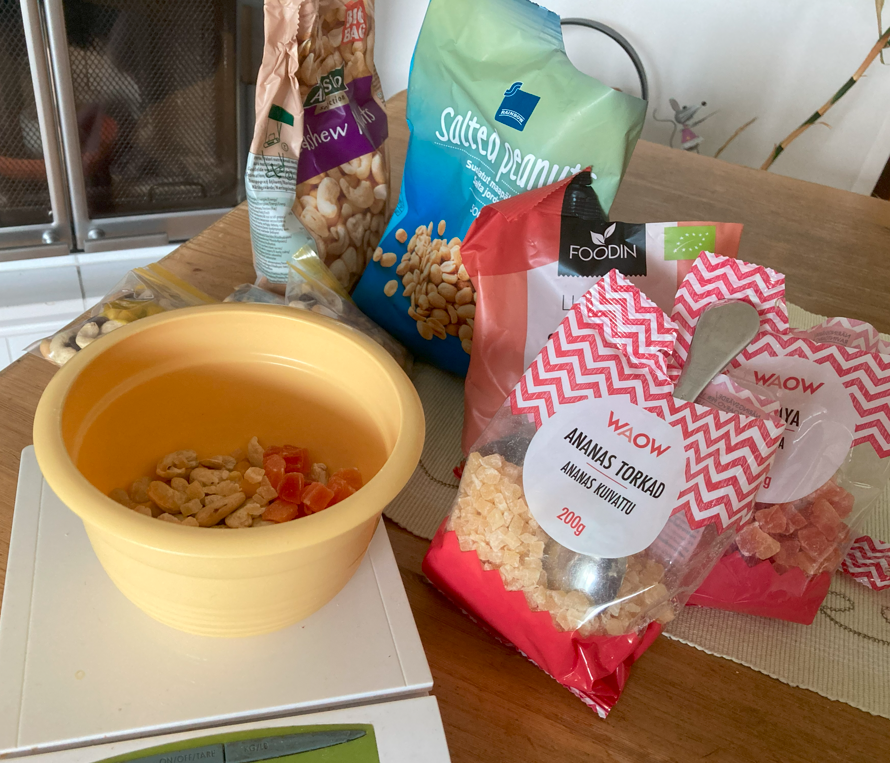
Mixing nuts is one part of the ritual.
Nuts for 8 days.
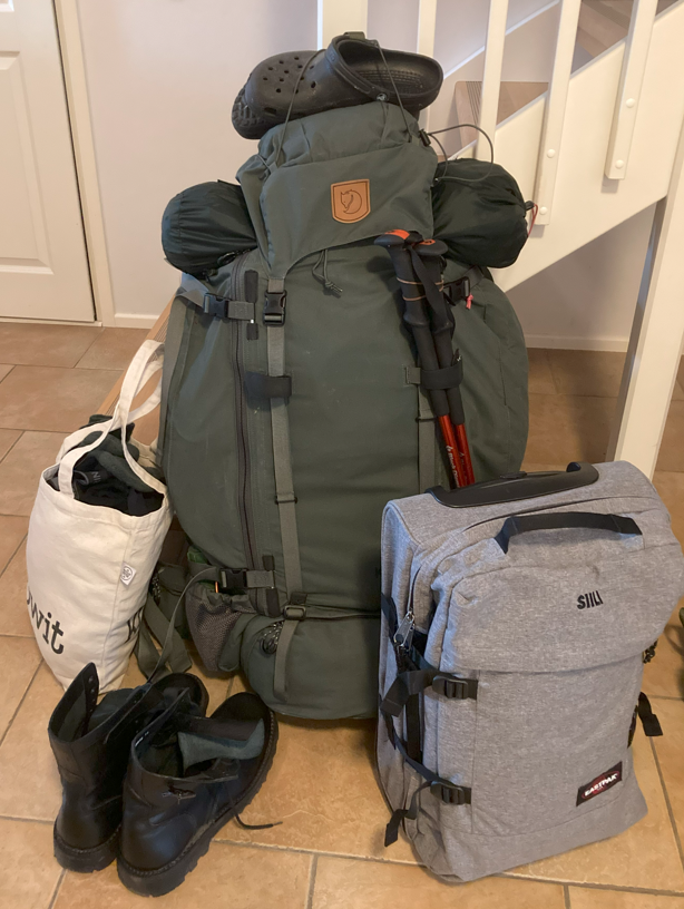
Ready to go – 21 kg
(without water).
The day before
I arrived in Ruka on Monday. I´ve driven over 800 km so far, and I have another 350 km to drive tomorrow.
Warm-up hike to the Valtavaara.
Despite the sunny day, dark shadows began to gather over the excursion. The weather forecast promised stormy winds and thunderstorms for the next day, which is a nightmare on open fells. A weather warning was issued for the entire Lapland region.
D-Day
The morning weather forecast already looked brighter. The thunderstorm seemed to have shortened into a one-hour lightning display in the early afternoon. So, in to the car and on the road.
Even the last lightning image had disappeared from the weather map as I reached Kiilopää. The partly cloudy weather is perfect for hiking. Park the car and hit the trail towards Rautulampi.
Rautulampi-Porttikoski
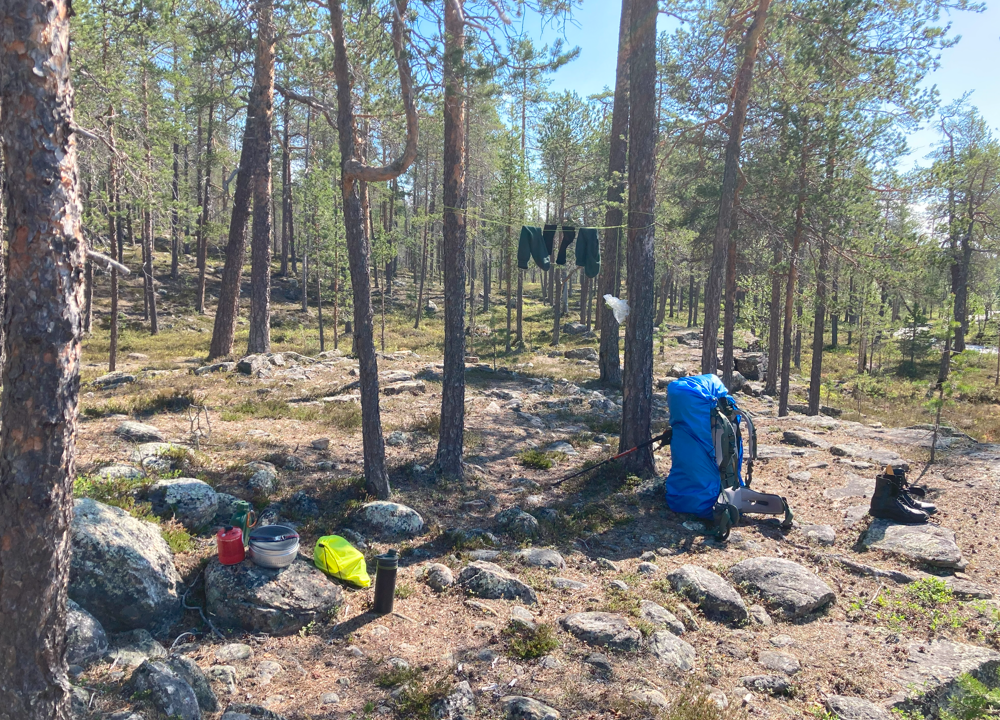
The first morning was sunny. The tent dries out on its own from the breeze.
The day was becoming excessively sunny. Eventually, the temperature rose to an estimated over twenty degrees, and the sun shone from a cloudless sky. The landscape is pleasant, but the emerging headache in the evening hints at mild sunstroke and dehydration.
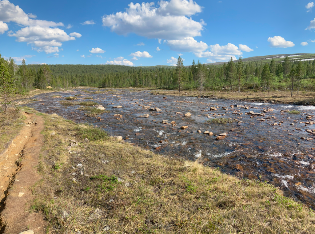
Porttikoski-Sarvijoki
The third day of hiking was equally hot and sunny. Perhaps for that reason, an unbearable annoyance struck. That infamous third-day annoyance when I start to wonder what exactly am I doing here when I could be lying at home in a hammock and grilling good food. The backpack weighed on the shoulders, and the hiking did not go smoothly. Rain was promised for the next day, which further darkened the mood. However, one must continue. Even if I had turned around, the return journey would take two days.
Just before Sarvijoki, two women and their teenage daughters stopped me and asked to show our exact location on the map. They were a bit unsure of the direction, but they didn’t seem to believe me when I showed them on the map that we were south of Kaarnepää. Just to be sure, I also showed our location on the GPS map, so they had to believe it. They thought they were on the northwest slope and had to admit that ”the north was indeed where the compass needle pointed”. In Lapland, there are indeed areas where the compass goes haywire, but that’s not Kaarnepää. Hopefully, they eventually found their way to Aittajärvi, where they were headed.
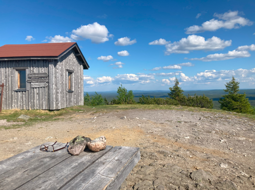
For the night, I stayed in an empty wilderness hut.
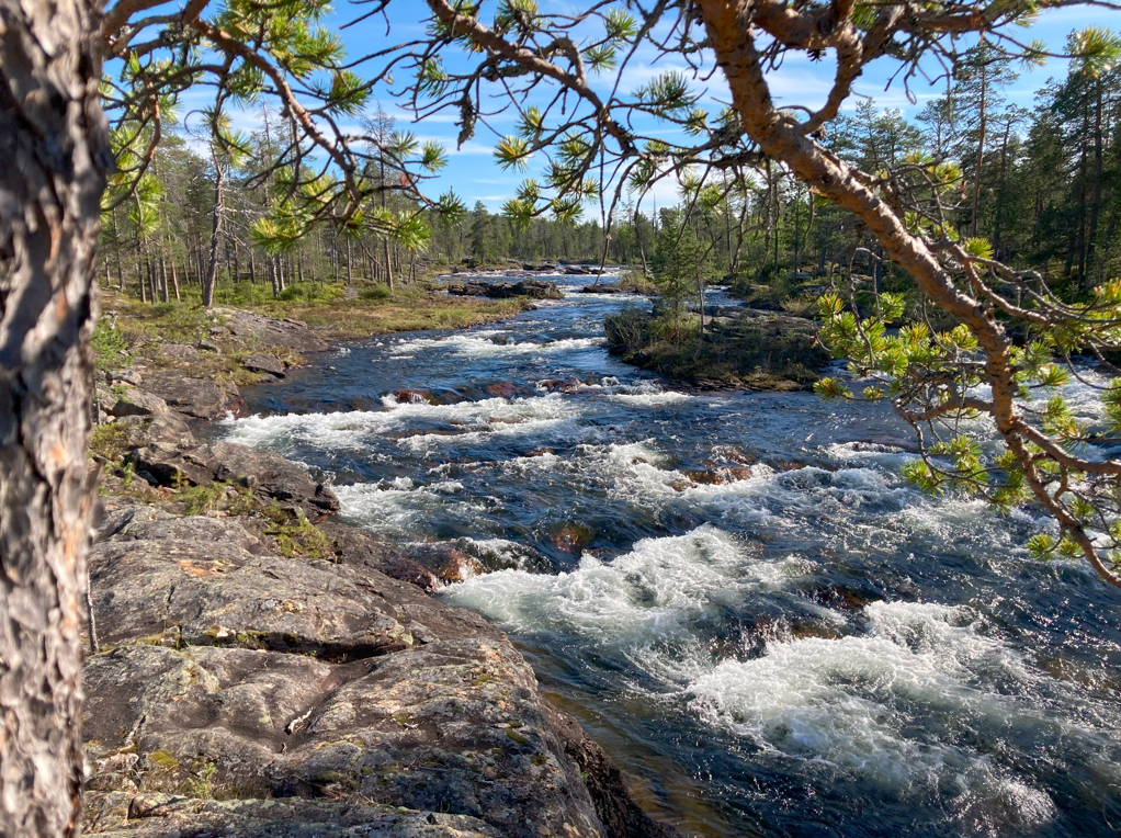
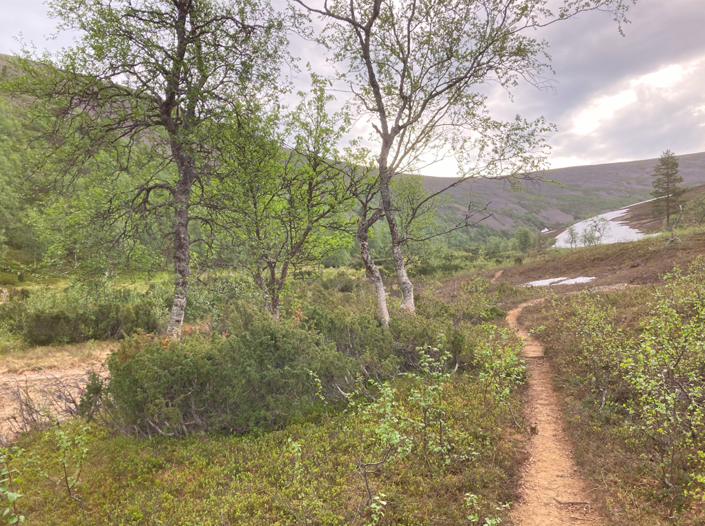
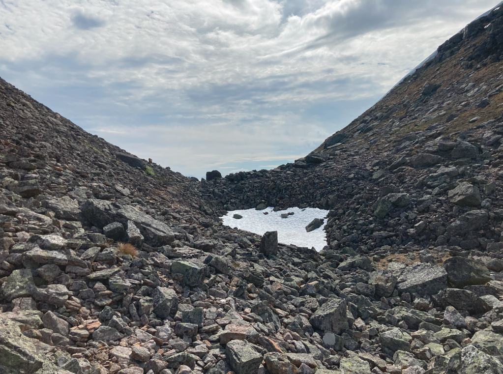
Sarvijoki – Paradise gorge – Devil’s gate – Lumikuru – Luirojärvi
In the morning, I woke up to the sunshine at four o’clock. Packed up and on the trail before six. The journey to Paratiisikuru would take a couple of hours and a few more hours through Devil’s gate to Muorravaarakka.
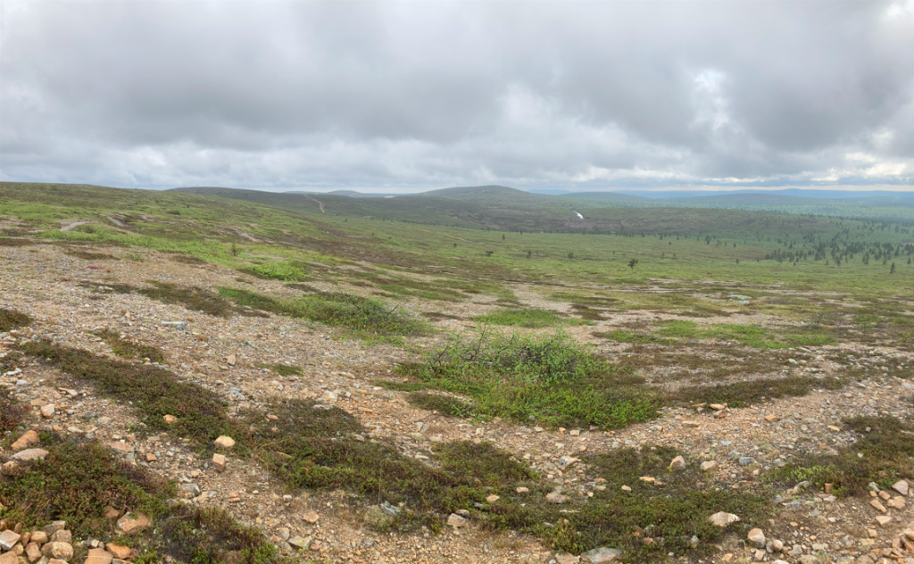
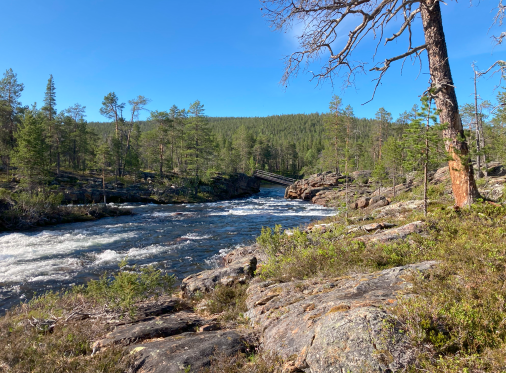
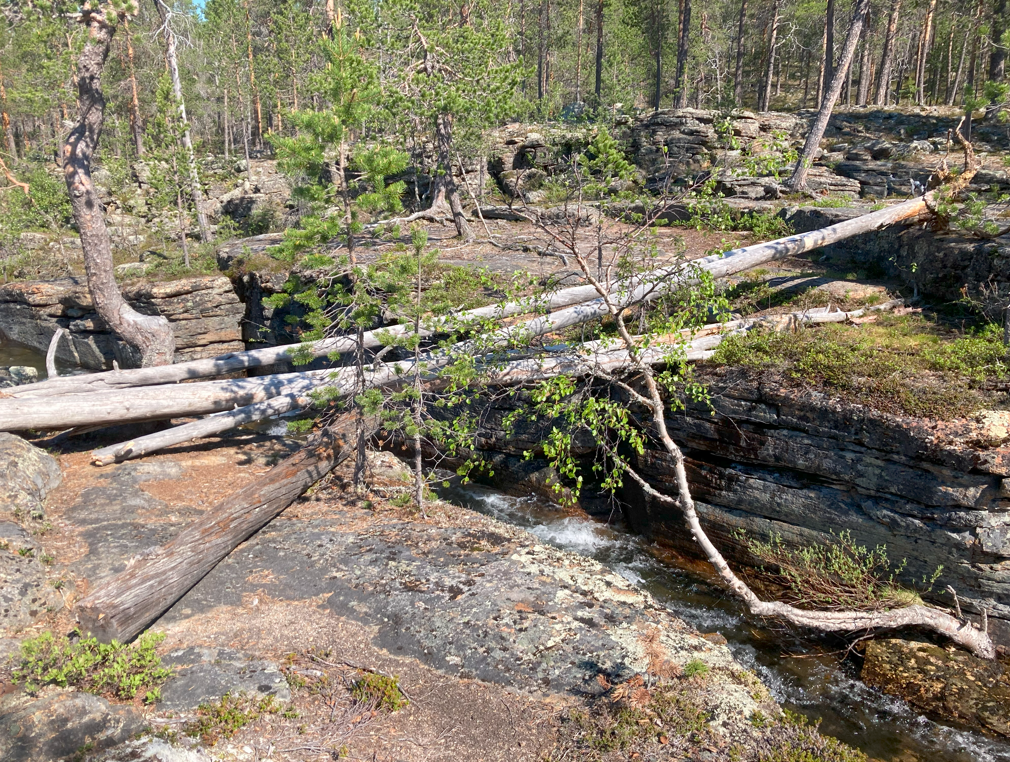
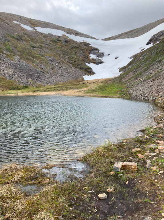
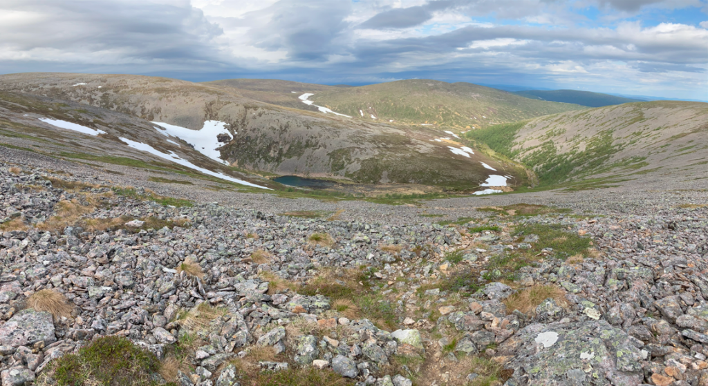
Paradise gorge was worthy of its name. Unfortunately, the pictures I took do not do it justice. The gorge was like a lush oasis in the middle of the wilderness; it clearly does not belong there. At this time of year, it was not yet in its full glory, and there was still a lot of snow in the northwest part of the gorge. But it still looked unreal.
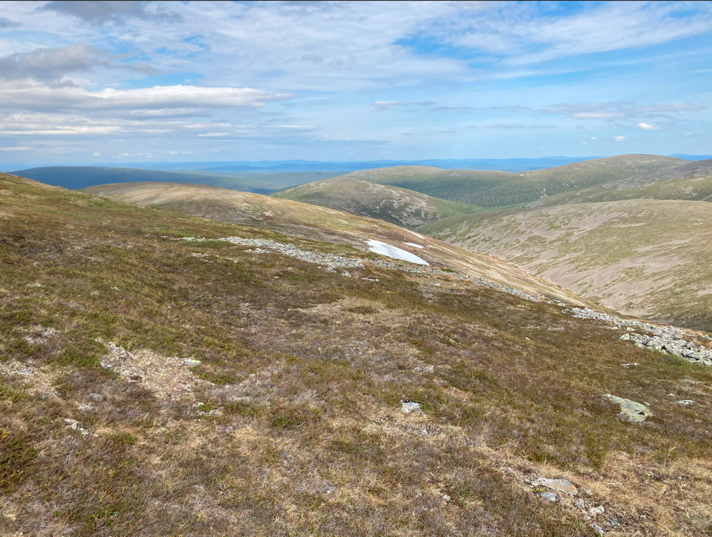
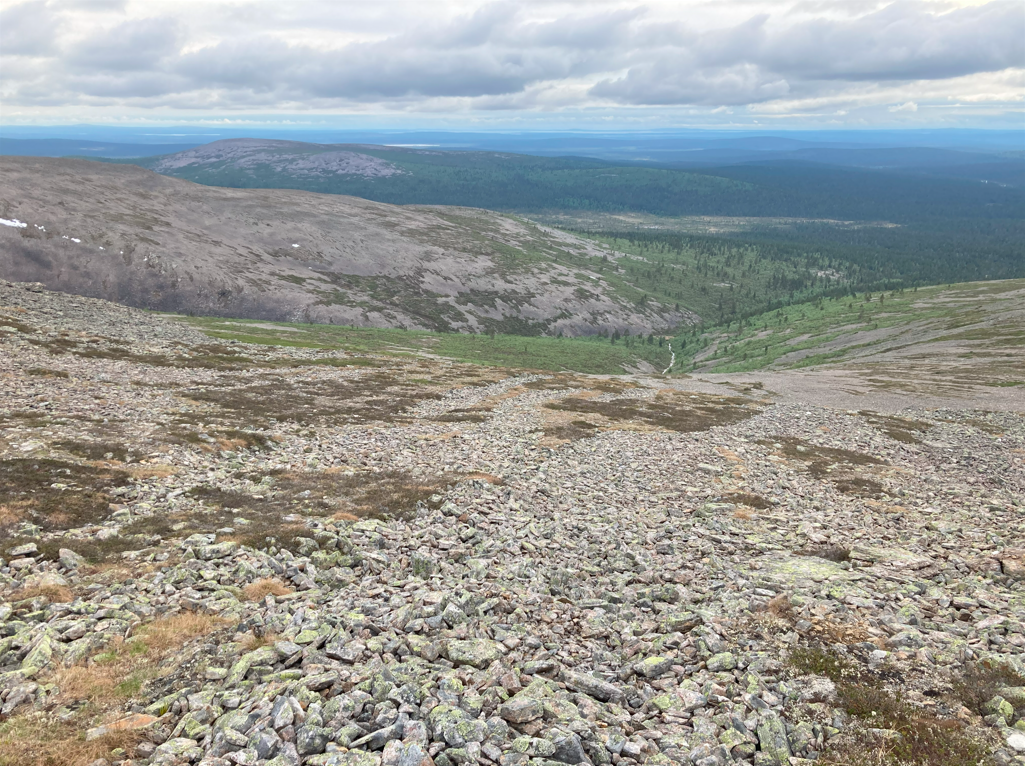
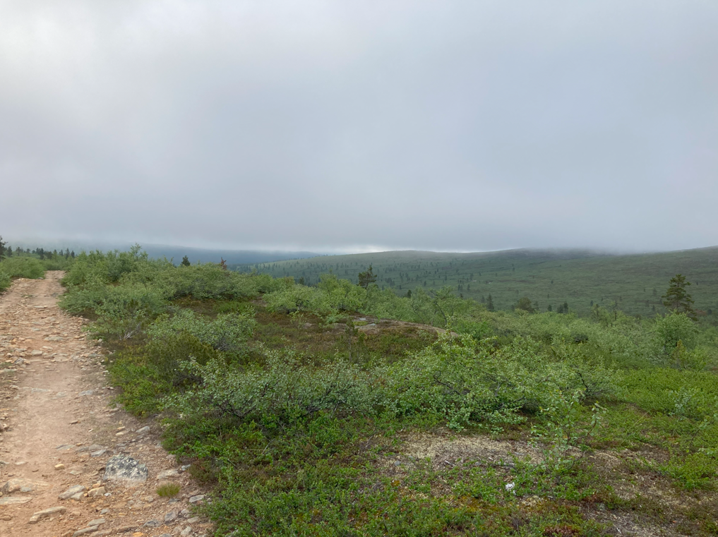
From Paradise gorge, one climbs a steep ascent of a couple of hundred meters near the peak of Uskelmapää. Legs get lactic acid build-up, and several breaks had to be taken. After this, it’s quite an easy journey through magnificent mountain scenery to Devil’s gate.
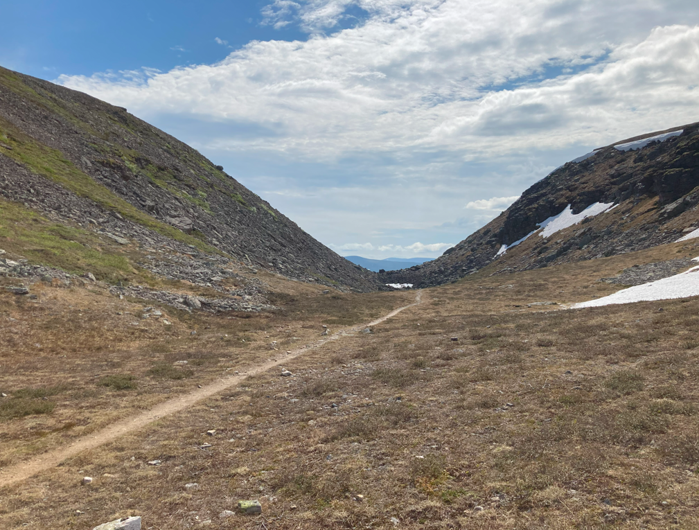
Devil’s gate, on the other hand, is the opposite of paradise. The sight was like at the gates of Mordor. Rubble everywhere. The danger of a rockslide seems evident. Nothing grows here. The gate itself seems to lead to a sheer drop to nowhere. Eventually, when one has walked through the gate, lush mountain birch forests open up.
At this point, I decided to skip Muorravaarakanruoktu and walk directly to Luirojärvi for a sauna. Especially since the promised rain seems to be moving to the next day, so one can walk in bearable weather over Lumipää and Riitelmäpää. The route is challenging enough without wet gear.
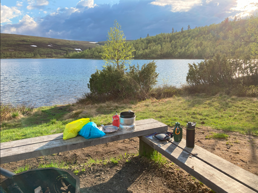
Once I reached Luirojärvi, I managed to set up my tent, go to the sauna and swim just in time before the rain started. The evening program had an unpleasant incident as well. One hiker and his friend had to be evacuated by helicopter for health reasons. Fortunately, there is enough mobile phone signal on the shore of Luirojärvi that calls can get through. It’s a 2-3 day hike back to civilization.
Luirojärvi – Tuiskukuru – Suomunruoktu
A rainy day. From the morning, there were showers so frequent that the tent eventually had to be packed away wet.
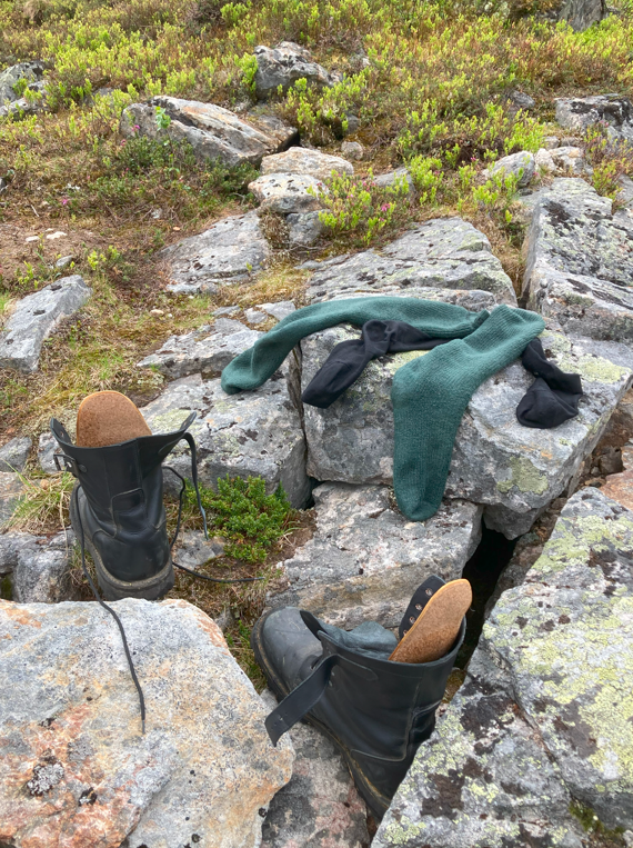
The hike itself was just killing the trail. Leather shoes got soaked through just walking in the grass, socks were drenched, and it rained. I should have probably saturated the shoes with more grease. At Tuiskukuru, I changed into drier socks; used ones since there were no clean ones left. The backup plan began to take shape: walk straight to Kiilopää to the hotel for the night. That’s an additional 10 km on top of the original 25 km.
Finally, upon reaching Suomunruoktu, the sun was shining and the weather was absolutely fantastic for camping. Plans changed quickly: set up the tent and Suomunlatva and Kiilopää can wait.
Towards evening, Vimpeli’s hiking confirmation school students started to arrive. In the tent, I got to listen to Ukulele playing and singing against the night. Quite a nice change.
Suomunruoktu – Kiilopää
Up at four, breakfast, and straight to Kiilopää. The confirmation campers were still sleeping – they don’t wake up until eight.
Summary
102,5 Kilometers (GPS-measured)